Update: September 30, 2015, 1030 hours GMT
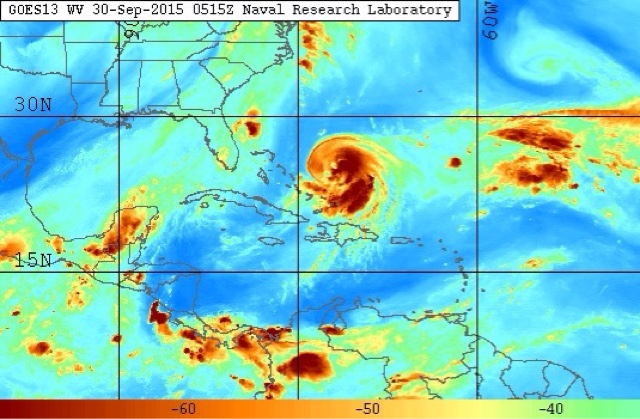
Joaquín intensifying and heading for Bahamas. It will soon become a hurricane and slowly moves towards central Bahamas. It will be hovering above central Bahamas on Friday. After that it will move back into the seas again. Conditions will become increasingly stormy on these islands. Friday will be worst.
 |
| Present satellite image shows tropical cyclone Joaquín close to Bahamas |
Update: September 30, 2015, 0730 hours GMT
The system will intensify into a category 2 hurricane soon. Most forecast model expect it to hit the eastern coast on October 4, 2015. The states to be affected are Delaware, Maryland, Virginia and North Carolina.
The lone dissenter is the European ECMWF model that predicts Joaquín will become a 951 Mb monster by October 3 but it will not enter the US but swing back into the Atlantic.

No comments:
Post a Comment